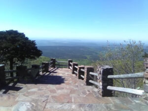
The Ozark National Forest blankets more than 1.2 million acres of northern Arkansas — a vast wilderness of forested mountains, bluff-lined rivers, hundreds of waterfalls, and some of the best hiking and scenic driving in the Midwest. Its northern reaches begin just south of Fayetteville, making the forest the wild backyard of Northwest Arkansas.
About the Ozark National Forest
Managed by the U.S. Forest Service as part of the Ozark–St. Francis National Forests, the Ozark National Forest sprawls across the Boston Mountains and Ozark Plateau of northern Arkansas. It’s a landscape of hardwood ridges, clear streams, caves, and waterfalls — and most of it is free to explore. For NWA visitors, the Boston Mountains south of Fayetteville are the closest gateway.
Things to Do
- Hiking — more than 395 miles of trails, headlined by the long-distance Ozark Highlands Trail along rocky ridges and past bluffs and streams.
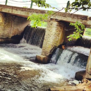
- Waterfalls — after rain, the forest comes alive with countless waterfalls; spring is prime.
- Scenic drives — Highway 7 and the Ozark Highlands Scenic Byway (Hwy 21) wind through the heart of the forest.
- Caves & unique sites — explore Blanchard Springs Caverns and the Pedestal Rocks Scenic Area (with its own waterfalls).
- Paddling & fishing — float the Mulberry, a Wild & Scenic River, and other clear Ozark streams.
- Camping — from developed campgrounds to primitive backcountry sites; see our sister site Make Camping Fun.
Good to Know
- Cost: Most access is free; some developed campgrounds and day-use areas charge a small fee.
- Closest access from NWA: The Boston Mountains just south of Fayetteville (along and off Interstate 49 / Highway 71).
- Best season: Spring for waterfalls and wildflowers; fall for foliage and comfortable hiking.
- Come prepared: cell service is spotty and services are limited — bring a map, water, and a full tank.
Frequently Asked Questions
How big is the Ozark National Forest?
About 1.2 million acres across northern Arkansas, part of the Ozark–St. Francis National Forests managed by the U.S. Forest Service.
Is the Ozark National Forest free?
Most of the forest is free to access. Some developed campgrounds and day-use areas charge a small fee.
Where can you hike in the Ozark National Forest?
There are 395+ miles of trails, including the long-distance Ozark Highlands Trail. The Boston Mountains south of Fayetteville are the closest section to Northwest Arkansas.
Location & Directions
- Closest access from NWA: Boston Mountains south of Fayetteville
- Managed by: USDA Forest Service – Ozark–St. Francis National Forests
- Cost: Mostly free (small fees at some developed areas)
Explore more Northwest Arkansas outdoors.